
Satellite
-
Jan- 2026 -27 JanuarySpace

Hanwha, MDA Space to Collaborate on S. Korea’s K-LEO Military Satellite Network
South Korea’s Hanwha Systems and Canada’s MDA Space have teamed up to explore collaboration on Seoul’s sovereign Low Earth Orbit (K-LEO) defense satellite constellation.
Read More » -
23 JanuarySpace

BlackSky Signs Multiple Contracts for Gen-3 Satellite Program
BlackSky Technology has secured several new contracts to expand the deployment of its Gen-3 satellite capabilities.
Read More » -
20 JanuarySpace

ICEYE Expands Space-Based Intelligence Support for Ukraine
Finnish company ICEYE and Ukraine’s Ministry of Defence have signed an agreement to expand their cooperation in space-based intelligence.
Read More » -
13 JanuarySpace

Sweden Taps ICEYE, Planet Labs for Space Satellite Network
Finnish defense contractor ICEYE and Planet Labs in California have signed a deal to provide synthetic aperture radar and electro-optical capabilities in support of the Swedish Armed Forces’ space operations.
Read More » -
12 JanuaryAmericas

US Space Command Taps SpaceX for Missile Warning, Tracking Satellites
The US Space Systems Command has awarded SpaceX contracts to launch new missile warning and tracking satellites into low-Earth orbit.
Read More » -
Dec- 2025 -18 DecemberSpace
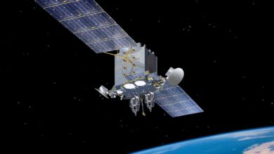
Breakthrough Satellite Tech Clears First Real-World Test
XCM3-Space is a software-defined radio with built-in security, operates across multiple frequencies and networks simultaneously, and operates in Low Earth Orbit.
Read More » -
18 DecemberTechnology
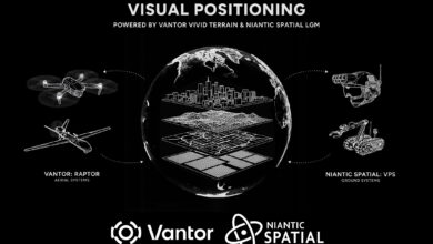
Eyes Over Satellites: US Firms Build Vision-Based Tech to Replace GPS
A partnership between US firms is looking to put visual capabilities into aerial and ground platforms, giving them coordinates where GPS fails.
Read More » -
10 DecemberAmericas

Raytheon, Amazon to Collaborate on Cloud-Based Satellite Operations
Raytheon announced a strategic collaboration with Amazon Web Services to improve satellite data processing and mission control operations.
Read More » -
5 DecemberTechnology

AI Converts SAR Imagery Into Real-Time 3D Synthetic Terrain
Aechelon completed a proof-of-concept that uses AI and Vantor’s 3D terrain data to turn ICEYE’s radar imagery into 3D synthetic environments.
Read More » -
3 DecemberEurope
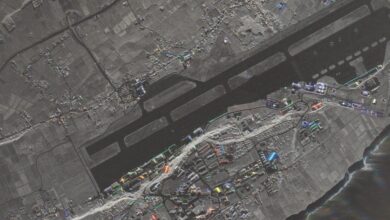
ICEYE Satellite to Become Portugal Air Force’s First Directly Owned Spacecraft
The Portuguese Air Force has signed a contract with ICEYE to purchase a Synthetic Aperture Radar satellite.
Read More »