
Polish space company Creotech Instruments has released the first Earth observation images from Mikroglob-1, the first satellite in a four-satellite reconnaissance system being developed for Poland’s armed forces.
The images show airports and urban areas in the US, as well as port infrastructure in China. They were collected during acceptance testing following the satellite’s launch in July.
Mikroglob-1 must still reach its intended orbit and complete calibration of its imaging and pointing systems to achieve its target imaging performance.
From US Airports to Chinese Shipyards
The first images range from airports to wide urban areas, showing how Mikroglob-1 can capture infrastructure and surrounding terrain in different spectral bands.
An image taken last month showed Los Angeles International Airport, while another covered a 24-kilometer (15-mile) stretch of the metropolitan area toward Torrance, including a refinery complex.
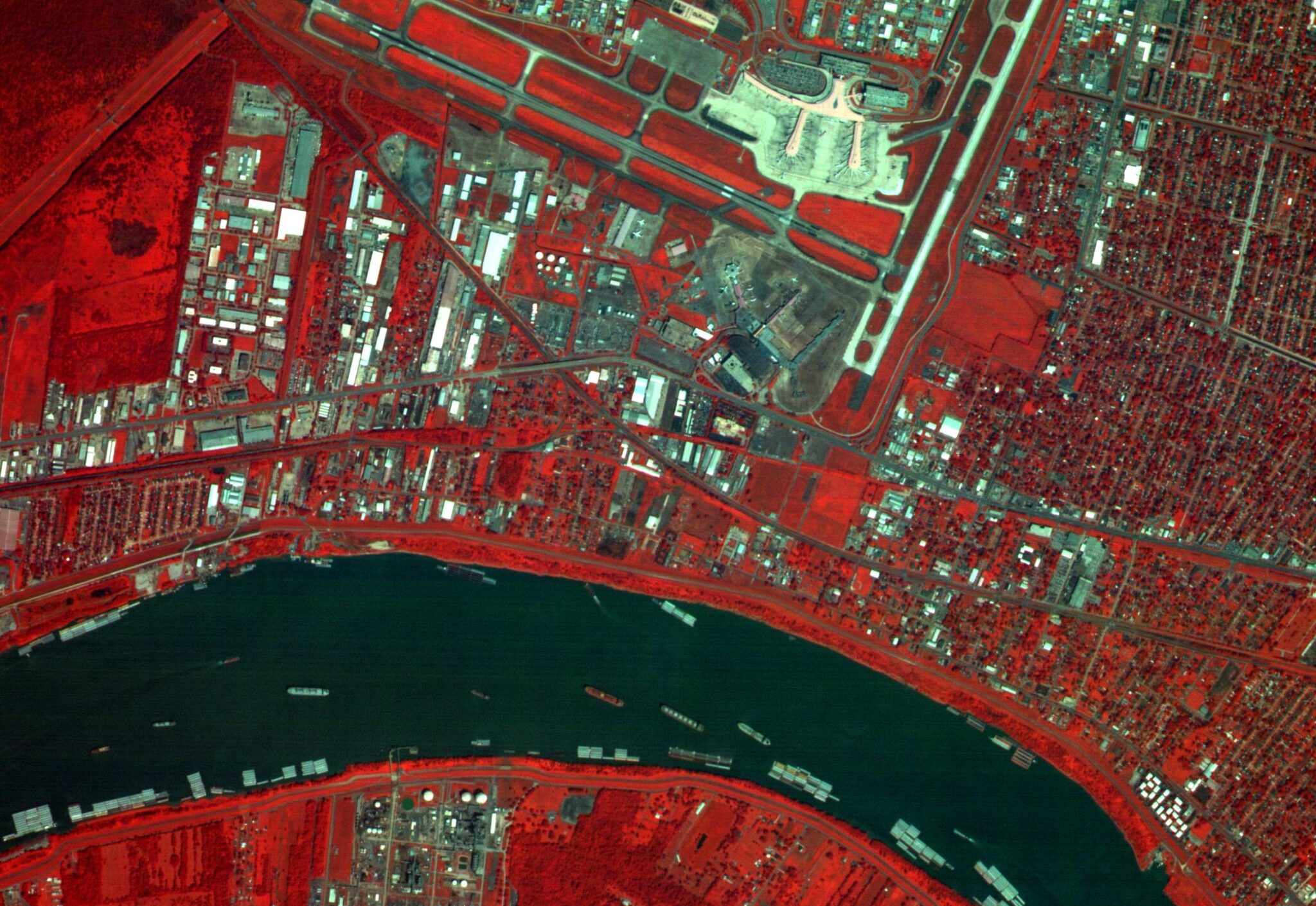
Images captured over New Orleans showed the airport and part of the Mississippi River in visible light and near-infrared.
The latter detects light invisible to the human eye, providing additional information for assessing vegetation, environmental conditions, and damage from disasters or military operations.
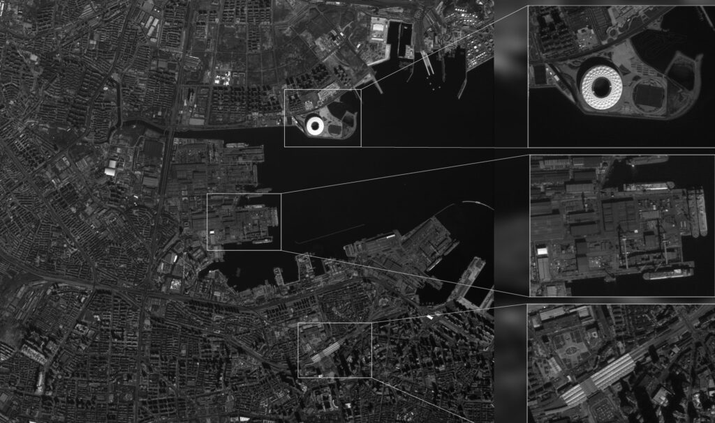
In China, Mikroglob-1 captured Dalian’s port and shipyard infrastructure in a panchromatic band, producing a monochrome image covering approximately 5.3 kilometers (3.3 miles) by 7.4 kilometers (4.6 miles).
Polish Constellation
The acceptance testing is required before the system is handed over to Poland’s Ministry of National Defence.
Creotech is building the Mikroglob system under a contract with Poland’s defense procurement agency, using its HyperSat satellite platform.
The constellation is intended to complement two higher-resolution reconnaissance satellites ordered from Airbus Defence & Space in 2022, with launches planned for 2027.
The Airbus satellites are designed to capture finer detail, while Mikroglob’s four satellites are intended to provide more frequent imagery of selected areas.