
Massachusetts-based MatrixSpace has signed a $1.9-million contract to develop a base defense radar for the US Air Force.
The deal stipulates a solution based on the company‘s proprietary MatrixSpace Radar small form factor hardware.
Work for the project will take place over 22 months in collaboration with the Air Force 87th Security Forces Squadron.
The effort is funded under the Tactical Funding Increase (TACFI) Phase II Sequential framework of the air force’s innovation arm AFWERX.
Once delivered, the equipment will be scaled for expeditionary and tactical applications in addition to base force protection.
Eventually, the system will be used for a network of rapidly deployable security sensors that operate without additional communications or power infrastructure.

“This TACFI project addresses a core requirement in new force protection, which is providing an enhanced level of awareness in complex, challenging environments, quickly,” MatrixSpace Intelligent Systems VP Matthew Kling stated.
“A distributed radar sensor mesh has the ability to detect and identify previously undetected objects, making it essential for the new world of battlespace awareness. This project enables MatrixSpace to demonstrate our product for field use.”
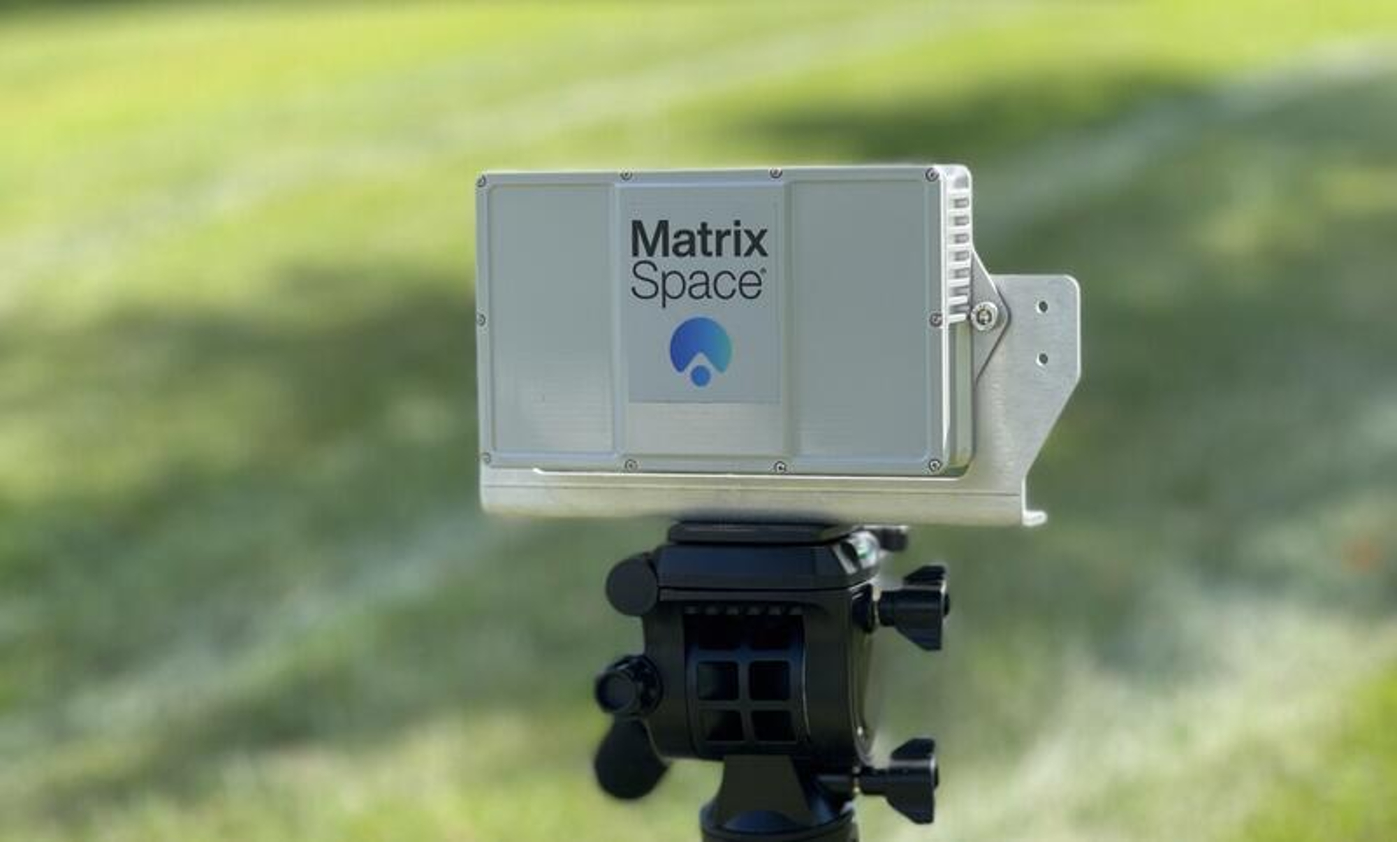
The MatrixSpace Radar
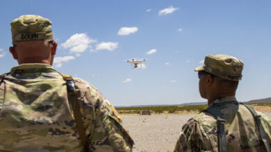
According to the company’s product portfolio, the MatrixSpace Radar is the size of a phone, allowing it to fit in a pocket, a backpack, or other hidden placements in the field.
It can scan, monitor, and identify low-altitude loitering munitions, unmanned aerial systems, and one-way attack vehicles that are “RF silent” once operational.
The device can be coupled with a range velocity map that displays the range and speed of targets, as well as a 3D cloud display to collect related signal, noise, and location data.
The portable radar can also be used to visualize target position and motion on a 2D map overlay, providing users with an aerial view of the vicinity along with nearby objects.